Started in 2020, our online academy has grown to serve participants from over 100 countries. We offer short cohort-based courses that help you learn and master complex skills.
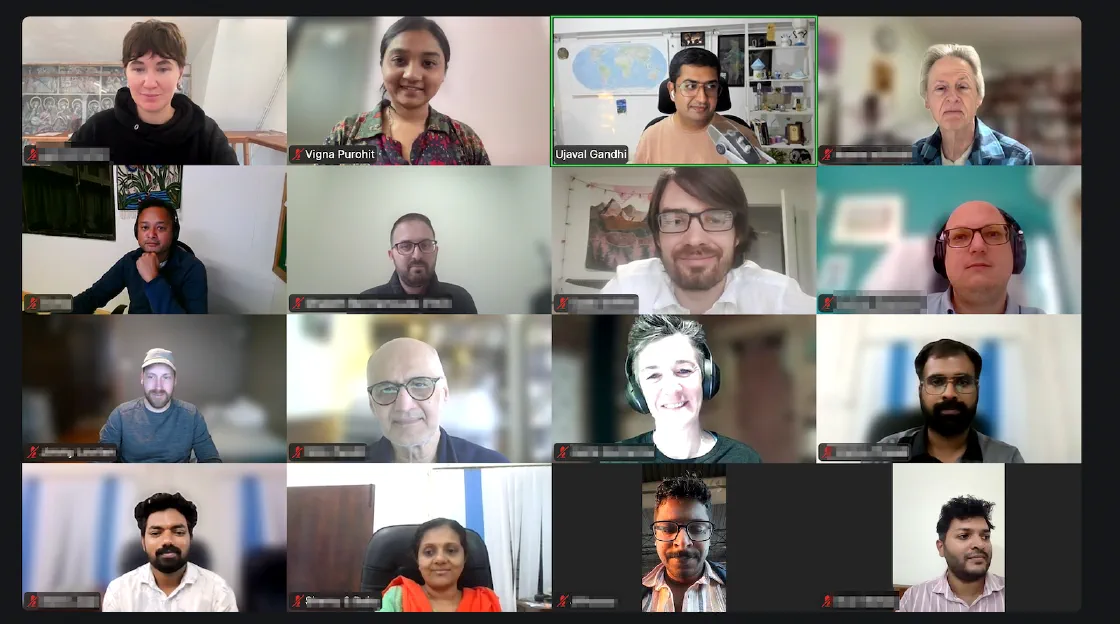
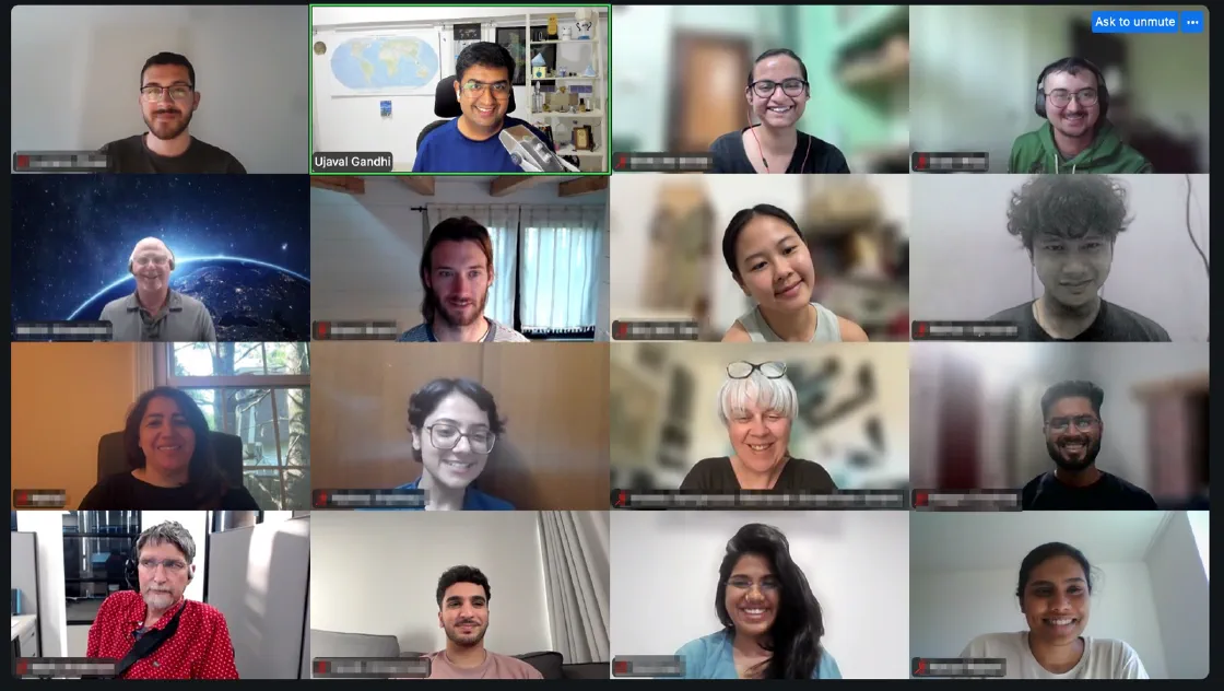
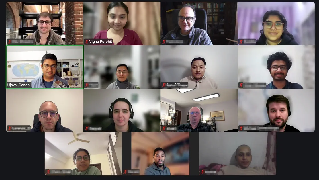
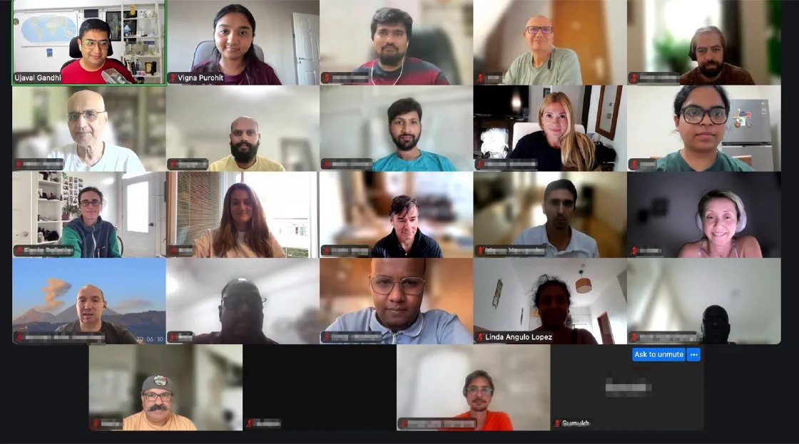
What makes our academy unique
Globally Accessible
We have mastered the art of delivering a perfect learning experience online. All of our courses are offered in a live online environment making them accessible to everyone. We have trained thousands of participants from across the globe.Free Mentoring and Support
We are your support system as you start applying your newly acquired skills to real-world problems. We offer free lifetime support to all our participants - ensuring you are never stuck.Cohort-Based Learning
Going through a course alongside a group of peers is a proven way to learn faster and more effectively. Your questions are answered live and code errors are debugged in real-time.Networking and Support
All the participants become part of our global alumni network. Join our monthly online meetups to keep updated with latest developments and connect with other professionals.Unique Teaching Style
Our classes are fun, informal, and highly interactive. The sessions consist of lectures, hands-on exercises, live quizzes, discussions, and personalized problem-solving.Globally Recognized Certification
All of our courses come with employer verifiable certification. We are one of the handful QGIS.org certifying organizations globally and offer the most affordable program to earn your QGIS certification.Our courses are designed to address the gap between the traditional GIS skillset and the needs of modern large-scale spatial analytics.
Explore our coursesMeet our participants
Read all reviewsAgentic Coding for Geospatial gave me a working method. During the course I used an AI coding agent to build a complete building-detection pipeline end to end in a Colab notebook: tiling a very high-resolution drone orthomosaic (3cm), reprojecting each tile to its local UTM zone, resampling to match a pre-trained GeoAI model’s training resolution, running inference, and saving the results as GeoJSON. When the pipeline produced zero detections partway through, the agent diagnosed the actual cause, tiles that had shrunk below the model’s working size after resampling, rather than papering over it, and fixed it. That is the kind of practical, tool-grounded workflow I was looking for. I recommend the course to anyone doing applied GIS work who wants to move faster without losing rigor.
 Linda Angulo Lopez
Scientific Researcher & SIRS Partnership Specialist, Rewilding Portugal & Software Heritage
 France
Agentic Coding for Geospatial
France
Agentic Coding for Geospatial
I am very happy to have taken the Cloud Native Remote Sensing with Python course with Ujaval. This is the sixth course I have taken with him, and I will definitely continue learning from him. In my opinion, he is the best educator in the geospatial technology field. He is also an excellent person: kind, approachable, and always willing to help and answer questions, even after the courses have ended. I highly recommend this course and Ujaval as an instructor.
 Joaquín Urruti
GIS & Data Consultant
 Argentina
Cloud Native Remote Sensing with Python
Argentina
Cloud Native Remote Sensing with Python
Even more than the nice, friendly class format that Ujaval and Vigna always run, the really cool thing is how the class is current with the relevant, current best practices. For instance, in this class session, what was so nice to learn was the approach to use AI tools in Python programming in a useful, careful, and appropriate way.
 Nitin Pandit
Mentor
 India
Python Foundation for Spatial Analysis
India
Python Foundation for Spatial Analysis
I am delighted to have taken another course with Spatial Thoughts. My expectations were fully met, and I gained valuable insights into using scripting in QGIS, automation workflows, and developing custom graphical user interfaces. The course is well-structured and offers real opportunities for growth. The assignments are thoughtfully designed to deepen both theoretical knowledge and practical experience.
 Giorgi Kapanadze
Open Source GIS enthusiast
 Georgia
PyQGIS Masterclass - Customizing QGIS with Python
Georgia
PyQGIS Masterclass - Customizing QGIS with Python
I can safely say that this course was one of the most useful courses on QGIS that I have taken so far. I have learned a great deal from writing scripts and automating workflows to building plugins. The instructors are very knowledgeable and quite cooperative, and this makes the course even more interesting. Highly recommended course (PyQGIS Masterclass)
 Hafizullah Rasa
CAU Kiel, Germany, Master Student in Environmental Management
 Germany
PyQGIS Masterclass - Customizing QGIS with Python
Germany
PyQGIS Masterclass - Customizing QGIS with Python
What a great course. It’s comprehensive, well-paced, interactive, and Ujaval and Vigna are excellent at delivering its content. So many additional resources are provided as well that pique your curiosity and make you want to continue the QGIS learning journey. I’ve already signed up for another course!
 Kayla Helt
Risk Manager | Geologist | Leader | Problem Solver, AbitiRisque Inc.
 Canada
Introduction to QGIS
Canada
Introduction to QGIS
Interested? Our next classes are open for registration.
See upcoming classes