Spatial Thoughts was founded with a mission to bring open-source ethos to education. Our goal is to provide high-quality and open learning resources to enable anyone to learn and master advanced geospatial technologies.
Every year 1M+ people use our tutorials, courses, and videos to upskill themselves.
Our business model is simple
Free and open content
All our content is free and openly licensed. There are no ads or paywall anywhere.Paid live classes
You only pay if you join our cohort-based live online classes that offer accelerated learning with certification and expert guidance.Support open-source
The revenue from the classes helps us sustain our mission in creating open content, and supports the open-source software that enables it.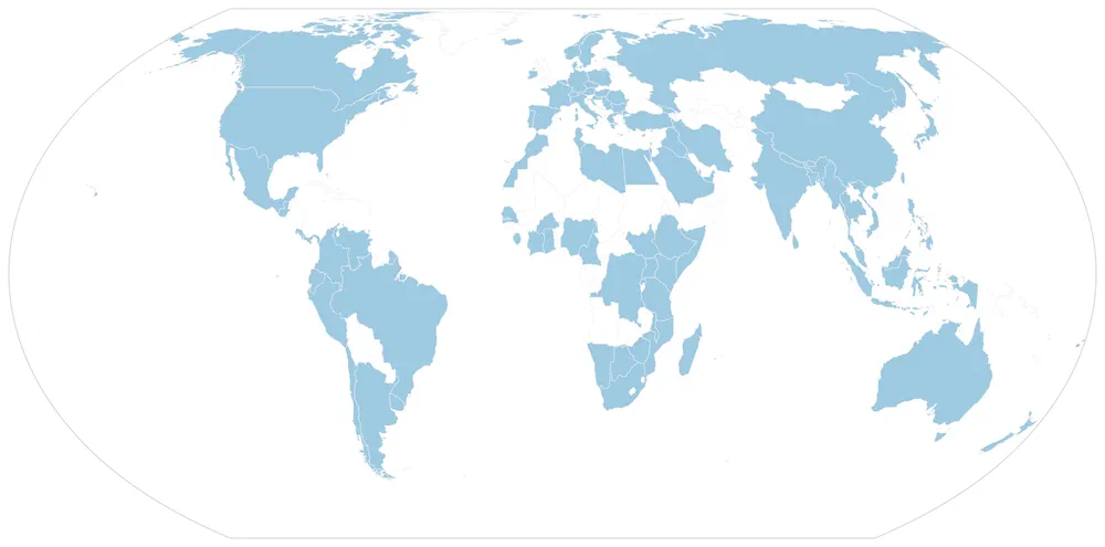
Participants from 100+ countries have taken our live online cohort-based classes.
Team
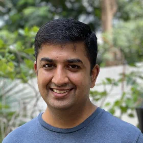
Ujaval Gandhi
Founder and Lead Trainer
Ujaval got his Masters in Geospatial Information Engineering from University of Wisconsin-Madison. After joining Google Inc. in California, he moved to India in 2006. He was one of the early employees at Google India and part of the team that launched Google Maps for India. He has worked on multiple Geo teams at Google and led the aerial imagery group in India. He was the lead trainer for Google Earth Engine in India and conducted numerous training sessions across the country.
Ujaval left Google in 2020 to pursue his passion for education and founded Spatial Thoughts - where he is building an open learning platform for geospatial technologies. He is a world-renowned training facilitator who is passionate about advancing the use of open-source technologies in teaching and research. He is also one of the co-authors of the open-access book Earth Engine Fundamentals and Applications.

Vigna Purohit
Training Associate
Vigna has a Masters degree in Remote Sensing and has experience working on research and industry projects. Her interest in automating GIS workflows led her to learn coding and she enjoys working with R, Google Earth Engine and Python.