Table of Contents
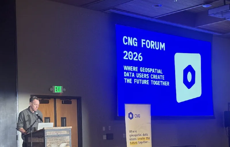
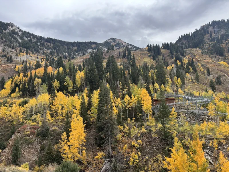
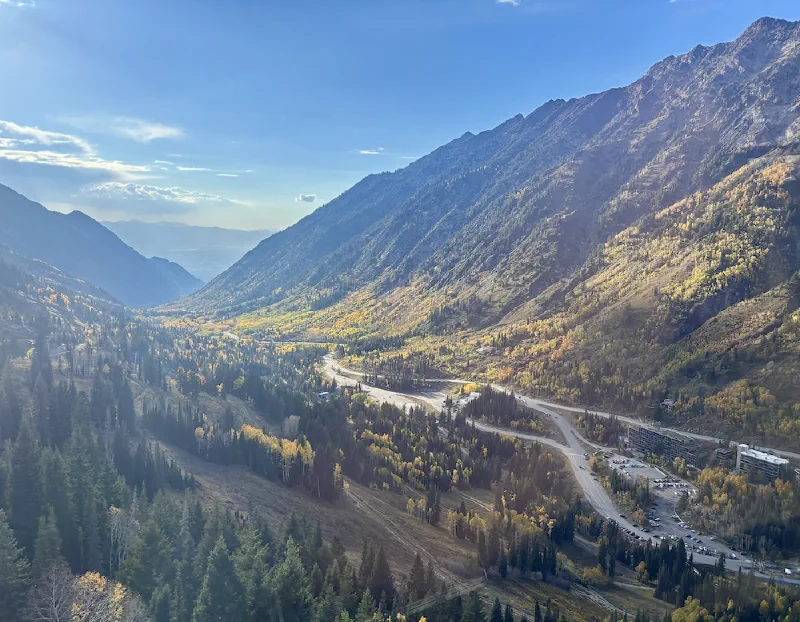
The Cloud-Native Geospatial (CNG) Forum 2026 happened at Snowbird, a mountain resort near Salt Lake City, Utah, from 6-9 October 2026. This conference brought together practitioners working on building datasets, tooling, standards and services based on open cloud-native technologies. This was my first time attending this conference and I want to share my experience along with some highlights and resources.
Key Theme: Maturing of Cloud Native Geospatial
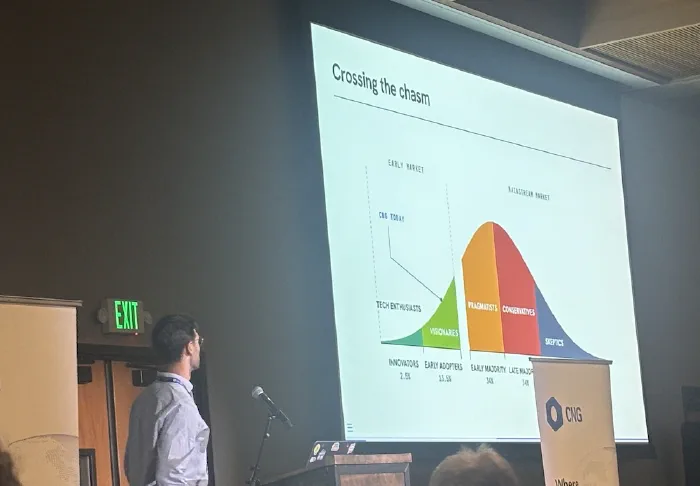
The CNG community has championed the adoption of cloud-native data formats (such as COGs, Zarr, GeoParquet, …) and standards (STAC, …). These have now reached a level of maturity and are ready for wide-scale adoption. The overarching theme for the conference was how the community is working towards mainstreaming of these technologies.
Cloud-Native Geospatial in Education
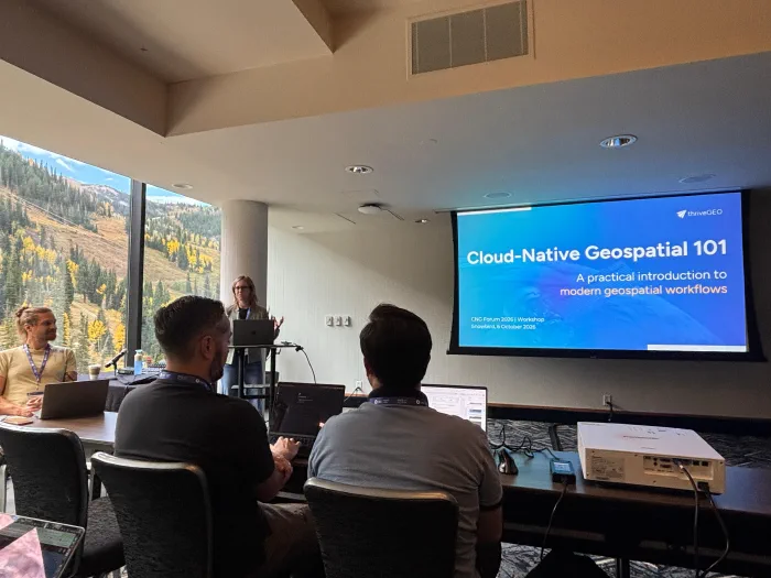
Being an educator in this space, my primary interest was to connect with other educators to learn and share best practices in teaching modern cloud-native technologies. I attended several sessions that focused on this topic.
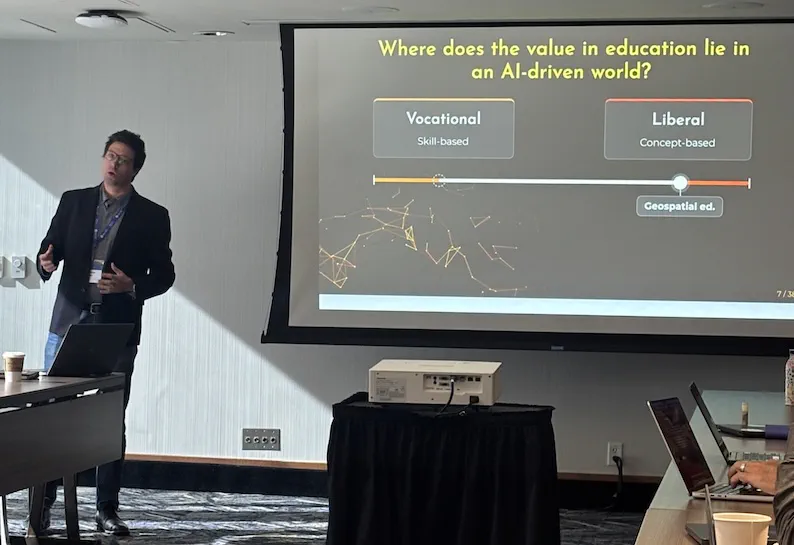
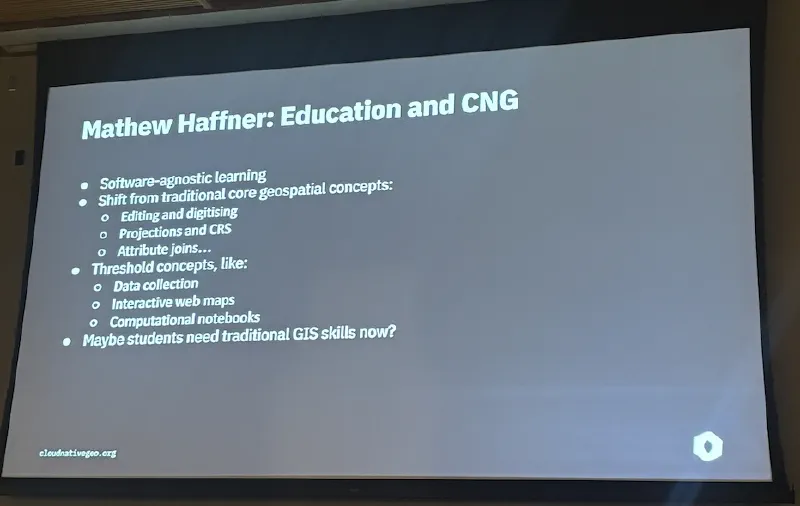
During the main conference, Matthew Haffner of University of Wisconsin - Eau Claire hosted a discussion session on Towards a cloud-centric university geospatial curriculum: Diagnosing barriers and charting a path forward. This was a short presentation with his thoughts on modernizing geospatial curriculum followed by an open discussion. There were many different viewpoints - especially on the balance between fundamentals and technical skills. You can see his Presentation with more details on how they are navigating this challenge.
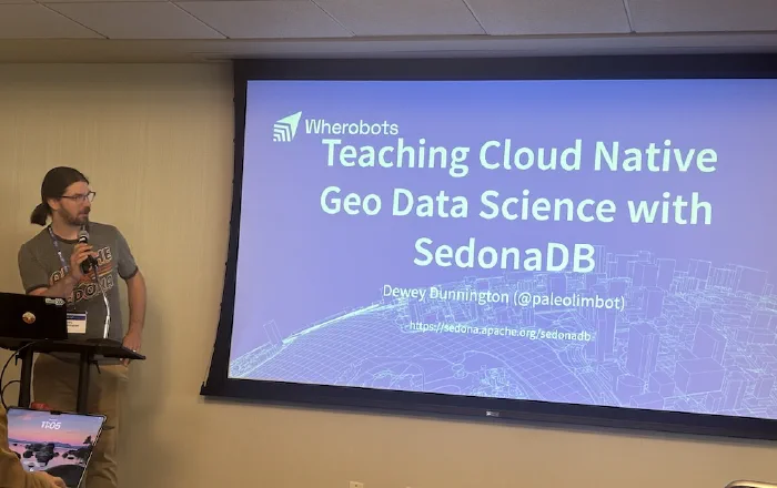
One standout feature of SedonaDB over DuckDB was the native support for Geography types - which enables operations like Geodesic Buffers. I plan to test this and share some code examples soon.
Creative Presentations
A trend I saw at the conference was interactive and creative presentations. Most presenters were using code-based slide-decks powered by systems like revealjs, Slidev. These were popular before, but now AI has made creating interactive content easier than ever. Tyler Erickson’s presentation on Cloud-Native Geospatial for Country-Scale Ecosystem Risk Assessment had an animated explanation of Ecosystems that was both informative and engaging. His slide-deck was created using Slidev with help of Claude and was laid out beautifully.
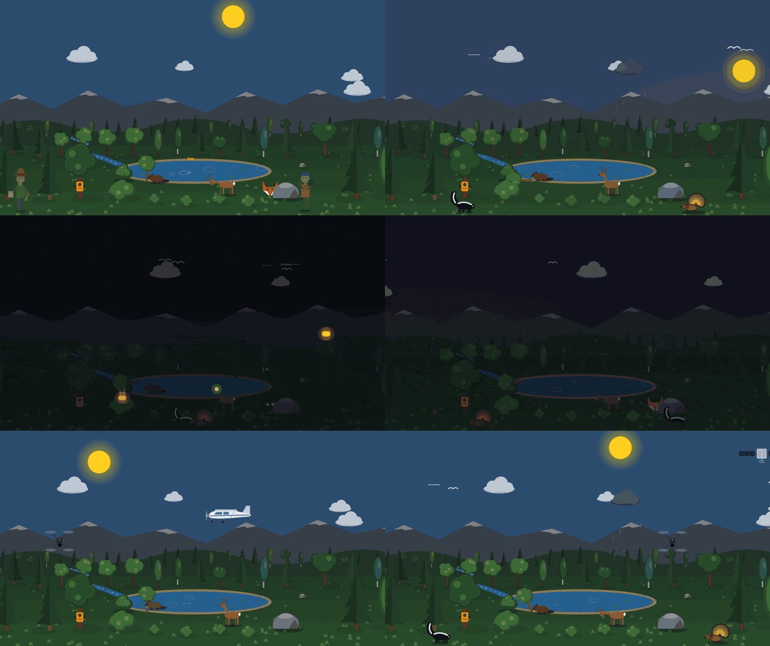
Ecosystems Animation by Tyler Erickson
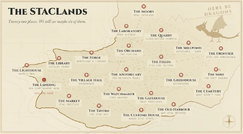
Matthew Hanson’s Into the STAClands: A Choose Your Own Adventure was also a fun presentation that let the audience collectively choose the topics in real-time. The audience votes on what path to take which subsequently reveals sub-topics to pick from. The presenter then clicks on the chosen topic and jumps to its slide. For a large ecosystem like STAC - this was a perfect format. It allowed the presenter to cover topics that were relevant to the audience in the room while keeping them engaged.
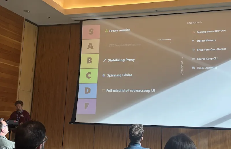
Anthony Lukach gave a talk on Building Source Cooperative which covered many features he has built. Instead of a sequential slide-deck, he chose to present them in a GenZ-inspired Tier List - ranking each feature by dragging it to a tier and presenting a slide on it. This was another engaging way to cover a lot of information without overwhelming the audience.
Embeddings and AI
There were many talks and discussions around Earth Foundation Models, Embeddings and AI. Having worked with Embeddings extensively over the past year - I was interested in learning how others have been using them.
My absolute favorite was the demo of the Geospatial Exploration of Latent Observation Space (GELOS) web app by Denys Godwin. A big question on everyone’s mind is: what do these foundation models really embed? Each model organizes the same imagery differently in its latent space. The GELOS App shows embeddings of ~78,000 land cover image chips from several geospatial foundation models (Prithvi, TerraMind, OlmoEarth, AlphaEarth and others), projected to 2D space with t-SNE. You can see whether each model groups samples by land cover class or by geographic location, and you can select a cluster in one model and find the same samples in the others. Do check out his Presentation, which has some really nice animations.
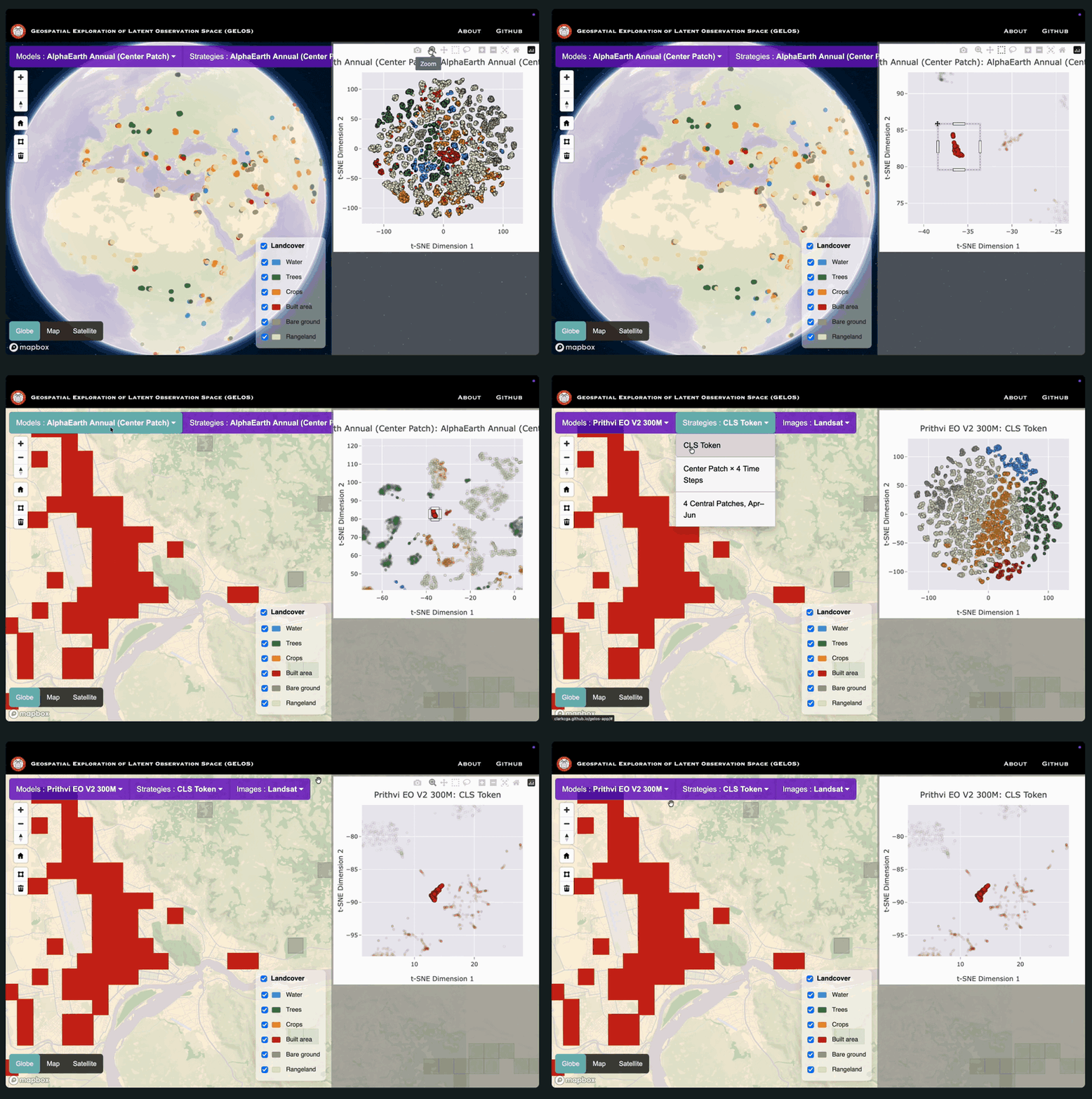
Visualizing Embeddings via GELOS App
I missed Robert Banick’s talk on Announcing wall-to-wall open-access TESSERA embeddings but had a great chat with him about their experience generating TESSERA embeddings and releasing them as open data on AWS. The cloud-native Zarr embeddings are available and the access pattern is documented on dClimate GitHub. I plan to migrate our legacy TESSERA notebooks to this version soon.
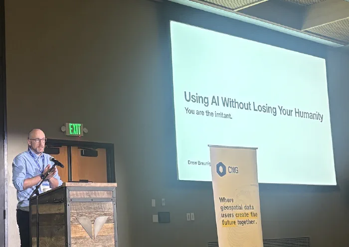
My Talk
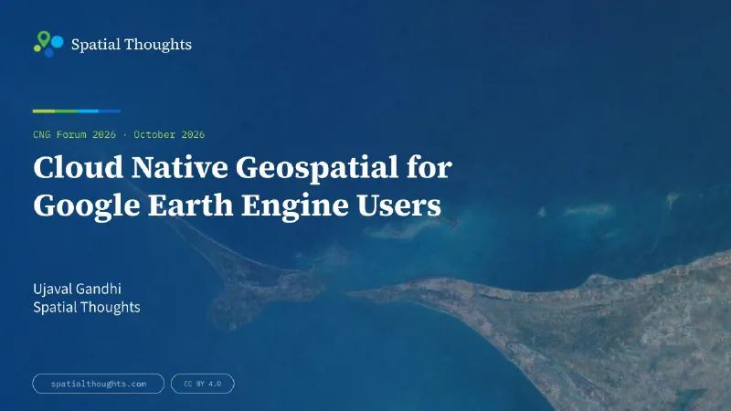
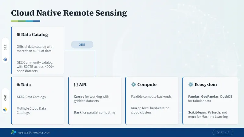
I gave a talk on Cloud Native Geospatial for Google Earth Engine Users. The talk was based on my experience building our Cloud Native Remote Sensing with Python course that has now replaced our popular End-to-End Google Earth Engine course with a fully open-source cloud-native stack. I also showed how the XEE extension allows you to use standard scientific Python packages with the data from the GEE Data Catalogs. The talk was well received, and I met several people who also shared their experiences when migrating from Google Earth Engine. You can view my Presentation to learn more.
Networking
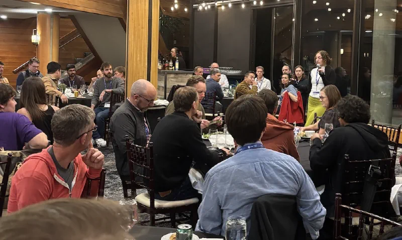
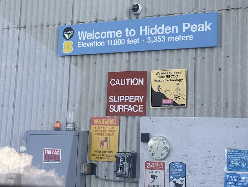
I find that the greatest value in attending in-person conferences is the ability to meet new people and make new connections. The agenda for the conference was specifically designed to maximize the unstructured time. The whole afternoons were blocked off, and people were encouraged to explore the beautiful surroundings and connect with others. All the meals were at the same venue where we also got to socialize with different groups.

This was the first time for me attending this conference. It was also a long way to travel to Utah from India. Deciding to attend this conference was especially difficult for me as I had to miss the QGIS User Conference that was happening at the same time. But I totally enjoyed the experience and found it worthwhile. Kudos to Michelle Roby and the Radiant Earth team for putting together a very well organized event. I look forward to attending future CNG events.
Comments