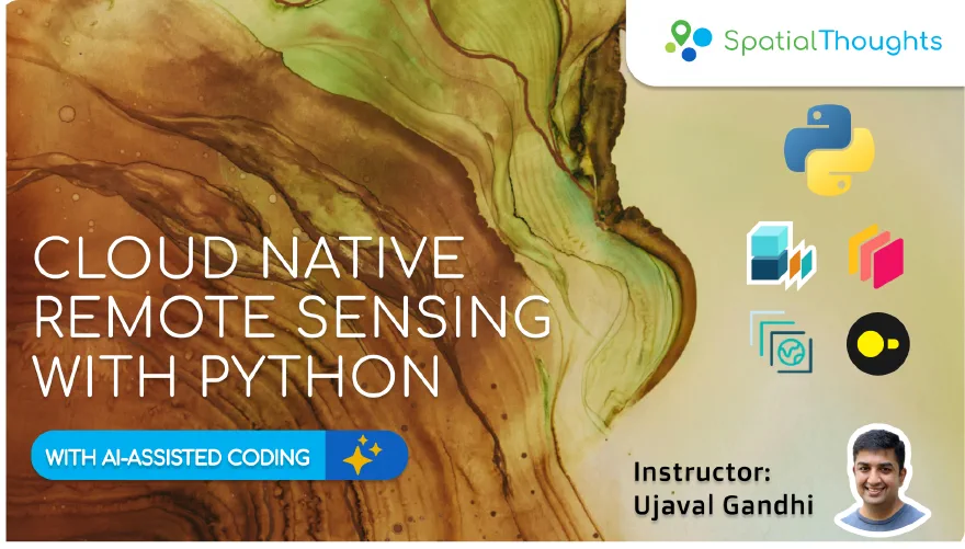
Cloud Native Remote Sensing with Python

This is an intermediate-level course that covers tools and techniques for working with climate and earth observation datasets using a modern cloud-native approach. With the growing ecosystem of cloud native data formats, open data catalogs and powerful open-source packages – remote sensing practitioners can build open and vendor-agnostic cloud-based data processing workflows.

This class provides a structured introduction to Python-based tooling (XArray, DuckDB, STAC, and Dask) for cloud-native workflows with best practices and hands-on examples.

Duration

18 Hours (Typically conducted in 6 sessions of 3 hours each over 2 weeks)

Prerequisites

Learning Outcomes

  • Knowledge of cloud native data formats and data stores.
  • Understanding of best practices for processing large datasets with cloud computing.
  • Ability to implement scalable Python workflows with XArray, Dask, DuckDB, and STAC.

Course Outline

  • Course Pre-work (Self-study)
    • Introduction to Remote Sensing
  • Module 1: Cloud Native Geospatial Fundamentals
    • XArray Basics
    • STAC and Dask Basics
    • DuckDB Basics
    • Creating a Median Composite
  • Module 2: Remote Sensing Fundamentals
    • Calculating Spectral Indices
    • Masking Clouds
    • Extracting and Processing Time-Series
  • Module 3: Computation and Data Processing
    • Working with Landcover Data
    • Analyzing Landcover Change
    • Computing Zonal Statistics
    • Interoperability with Google Earth Engine
  • Module 4: Machine Learning and AI
    • Preparing Data for Machine Learning
    • Unsupervised Classification
    • Collecting Training Samples
    • Supervised Classification
    • Supervised Classification with Embeddings
  • Module 5: Computation Environments
    • Running Computation on Your Hardware
    • Using Google Cloud Runtime
    • Scaling Analysis in Cloud with Coiled
  • Assignments
    • Assignment 1: Create a Landsat Composite
    • Assignment 2: Extract a Temperature Time-Series

Certification

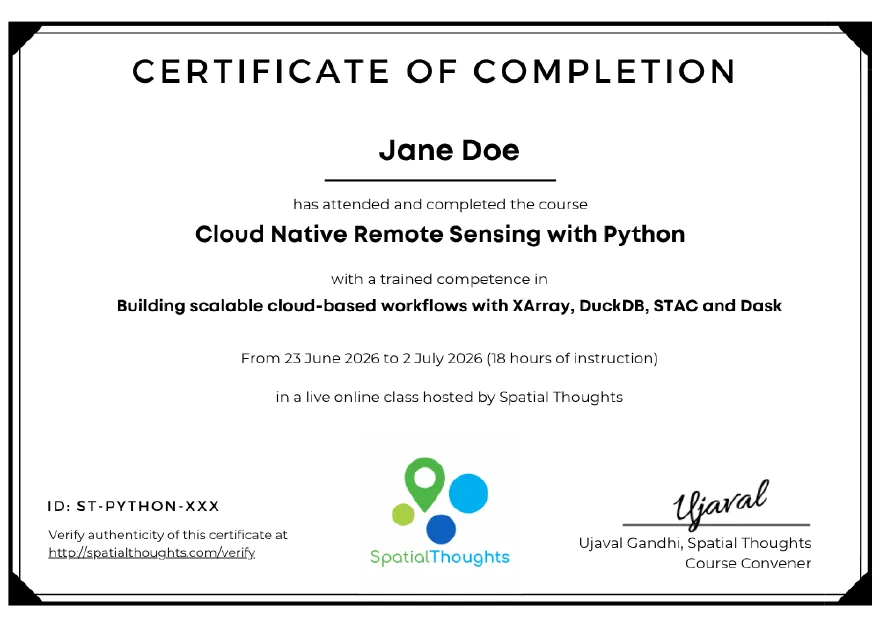
Upon successful completion of all the live online sessions and completing the assignments, participants will be issued an employer-verifiable certificate from Spatial Thoughts. Learn more.

Learning Mode

All of our courses are available for free for self-study via our OpenCourseWare site. We also offer the courses as cohort-based online classes with certification and support.

Self StudyLive Classes
Instruction methodJupyter NotebooksLive Instructor-led Zoom Sessions
Certification
Lifetime Technical Support
Mentoring
CostFreeCost: US $175 / INR ₹12500
Start Learning ↗Sign-up For a Class ↗

Course Reviews

The Cloud Native Remote Sensing with Python course was practical, well structured, and highly relevant to modern geospatial workflows. It significantly strengthened my geocomputing skills by introducing scalable approaches for processing large Earth observation datasets using cloud-native technologies such as STAC, Dask, Xarray, and Cloud Optimized GeoTIFFs. The hands-on exercises made the concepts easy to apply, the instructor explained complex topics clearly, and the TA support was excellent throughout. I highly recommend this course to anyone looking to advance their Python, remote sensing, and geocomputing skills.

Abdillahi Osman Omar, PhD Researcher in GeoAI, University of West London (UWL).

Once again, Ujaval’s instruction has increased my confidence to leverage the world’s cutting edge technologies and methodologies. This time is special, in that the workflows learned are independent of any platform and are scalable across environments! I am excited to continue down this path and now see how AI can open the doors to many more opportunities than I considered attainable to me before taking this course.

Zach Torres, Sr. Manager, Strategic Operations & Analytics, World Vision USA.

I greatly enjoyed learning and practicing the frontier techniques of cloud based remote sensing analysis @SpatialThoughts. Ujaval and Vigna confirm themselves as top notch instructors and content creators. This course will be of great advantage to my academic work and my professional experience.

Emanuele Clemente, PhD Student, University of Bari, Italy.

I highly recommend the Cloud Native Remote Sensing with Python course. It bridges the gap between traditional remote sensing and modern, scalable cloud workflows perfectly. The practical, hands-on Python exercises provided me with skills that are directly applicable to my academic projects and the future of geospatial project. It’s an essential masterclass for anyone looking to modernize their spatial data analysis.

Kushal K.C, Geomatics Engineering Student,Kathmandu University, Nepal.