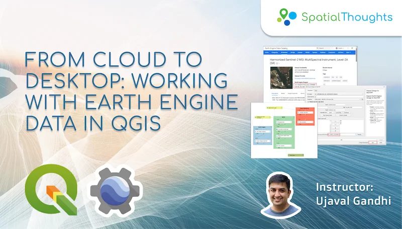
From Cloud to Desktop: Working with Earth Engine Data in QGIS
Google Earth Engine (GEE) is a cloud-based platform that enables working with large-scale earth observation datasets effectively. The Google Earth Engine Plugin for QGIS brings this power to the desktop and enables QGIS users to combine their geospatial workflows with cloud-based datasets. This workshop is ideal for QGIS users who want to leverage cloud-based datasets in their geospatial workflows.
Level
Beginner
Duration
6 hours2 sessions of 3 hours each
Prerequisites
Familiarity with QGIS
Ways to take this course
Every course is free to study on your own. The live classes
add certification, support and a cohort to work through it with.
Understanding of the Google Earth Engine Data Model
Accessing and downloading Earth Engine datasets through QGIS
Building QGIS Workflows with Model Designer
Course outline
Session 1
Introduction and Downloading Data
Introduction and Workshop Overview
Overview of the Earth Engine Data Model
Accessing Earth Engine Datasets
Hands-on: Downloading Images from Earth Engine
Session 2
Building Workflows
Hands-on: Building Workflows with Model Designer
Certification
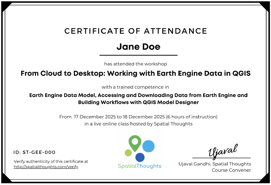
Upon attending all the live online sessions, participants will be issued an employer-verifiable certificate from Spatial Thoughts. Learn more.
What participants say
Read moreShow less
The ‘Cloud to Desktop: Working with Earth Engine Data in QGIS’ was exceptionally interesting. I hadn’t worked with models before, and the class flowed very well. I was able to build my own model, and when a different kind of challenge emerged, we could tackle it through critical thinking. I appreciated the ability to dive deep to solve a problem. In short, I find the level of instruction excellent and the teaching method superb as well.

 Costa Rica