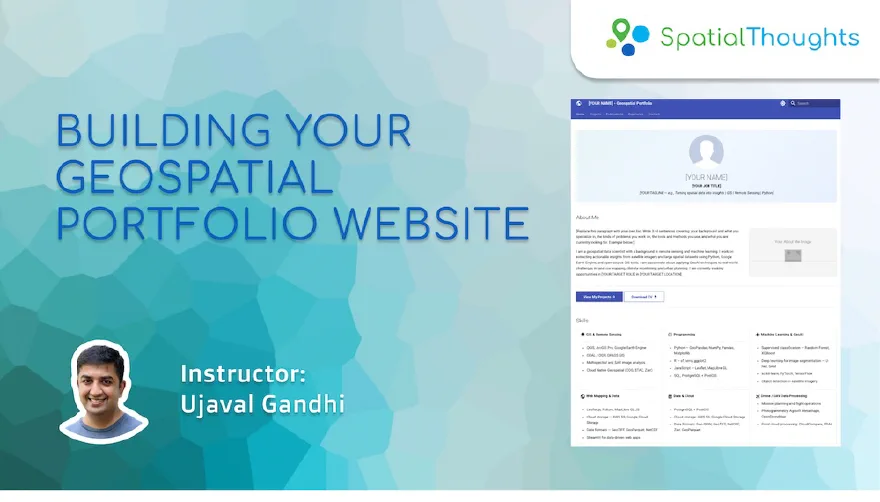
This workshop is a gentle introduction to Git, GitHub, and Web Development with the goal of creating and publishing a personal portfolio website. At the end of the workshop, you will have a beautiful, modern, and customized portfolio that is hosted for free on GitHub Pages and ready to be shared with your network.
No prior experience with Git or GitHub is required.
Level
Beginner
Duration
6 hours2 sessions of 3 hours each
Ways to take this course
Every course is free to study on your own. The live classes
add certification, support and a cohort to work through it with.
Familiarity with Git, GitHub, GitHub Actions and GitHub Pages
Familiarity with Static Site Generators
Use of LLMs in Data Extraction and Creating Markdown Content
Course outline
Session 1
Introduction and Fundamentals
Introduction and Workshop Overview
Basics of Git, GitHub and Web Development
Setting up your local development environment
Session 2
Populating the Portfolio
Updating Content Pages
Adding Project Pages
Certification
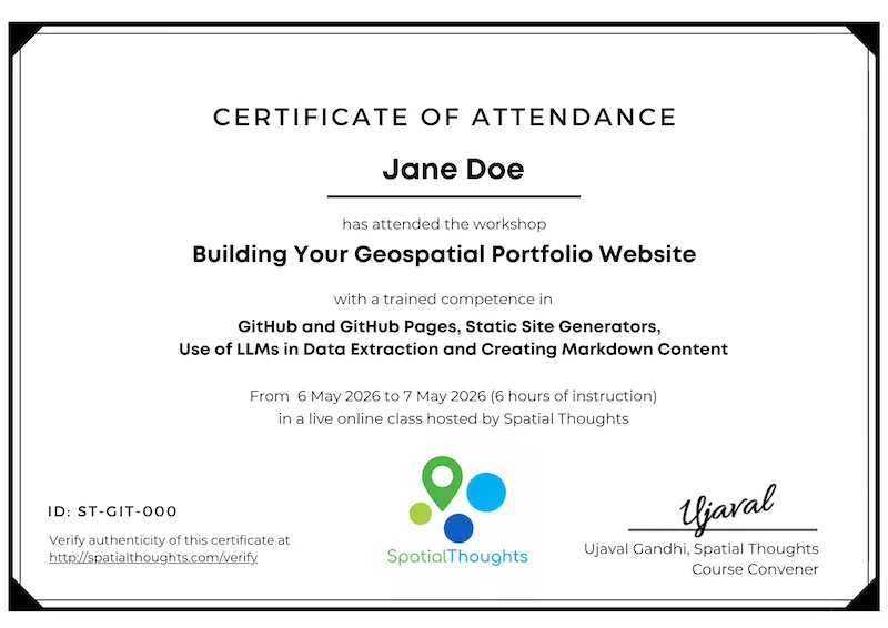
Upon attending all the live online sessions, participants will be issued an employer-verifiable certificate from Spatial Thoughts. Learn more.
What participants say
Read moreShow less
From not being aware of what Git and GitHub does, to build my own portfolio and share it on GitHub was really special for me.The way it is structured makes anyone so easy to understand things and gives us the confidence to use these skills in a better way moving forward.
In today’s AI-driven professional landscape, a traditional CV is no longer enough to demonstrate expertise. The real differentiator is showcasing tangible competence through projects, tools and methodologies on a polished professional website.
Ujaval’s “Building Your Geospatial Portfolio Website” course proved to be exactly what I needed. Rather than prescribing a one-size-fits-all solution, Ujaval provides a high-level strategic overview and trusts participants to chart their own path. Whether your background is deeply technical or rooted in project management, the course validates that everyone has meaningful stories worth telling.
Over two days, the experience was transformative. I gained clarity on just how much of my career deserves documentation and realized the potential of translating those experiences into a compelling digital portfolio. What impressed me most was how Ujaval integrated modern tools, particularly how to leverage LLMs for generating markdown content and building automated solutions for website development.
This was an excellent course. I was introduced both to GitHub and to using AI to assist with coding detail. Ujaval is a very lucid speaker, and is attentive to any issues students in his online classes may be having keeping up to him. It was excellent value, being inexpensive and of very high quality. Ujaval remains accessible after the course and provides individual help, both of these things are quite unusual in an online course, and are to be commended.

 India
India

 Canada