- When
- Sep 2–10, 2026
- Duration
- 12 hours
4 sessions of 3 hours
- Format
- Online
Live, instructor-led
- Fee
- US$149₹9,999 + GST in India
Schedule
All times are India Standard Time (IST, GMT+5:30).
Use the local time link on each session to see it in your time zone.
Clocks change by an hour during this class in Chile before Session 3, so check the local time link for each session there.
Course outline
Module 1
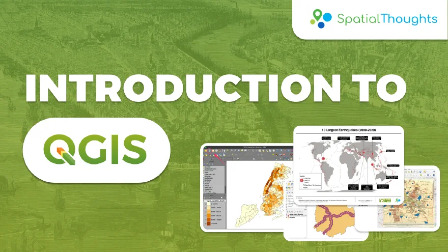
Creating Maps
- Introduction and Course Overview
- Importing Vector Data
- Symbology & Labelling
- Print Layout
Module 2
Visualizing Spatial Data
- Joins
- Data Normalization
- Creating a Choropleth map
Assignment
Design a Population Density Map
Module 3
Georeferencing and Data Editing
- Georeferencing
- Using Attribute Forms
- Polygons Digitization
Module 4
Geoprocessing
- Introduction to OpenStreetMap
- Introduction to Gridded Population Datasets
- Reproject and Buffer
- Calculate Zonal Statistics
Prerequisites
Familiarity with GIS concepts

 Canada

 United States of America

 India