Introduction to QGIS
- Level
- Beginner
- Duration
- 12 hours4 sessions of 3 hours each over 2 weeks
- Prerequisites
- Familiarity with GIS concepts
Ways to take this course
Every course is free to study on your own. The live classes add certification, support and a cohort to work through it with.
Cohort-based, with certification
- Live instructor-led Zoom sessions
- Official QGIS.org certification
- Lifetime technical support
- Mentoring
Next class: January 2027
US$149 ยท ₹10500
Notify me when it opensLearning outcomes
- Load, view and query spatial datasets in QGIS
- Create and edit spatial data using QGIS
- Ability to use QGIS for common spatial analysis tasks
- Create data visualizations and maps
Course outline
- Module 1
Creating Maps
- Introduction and Course Overview
- Importing Vector Data
- Symbology & Labelling
- Print Layout
- Module 2
Visualizing Spatial Data
- Joins
- Data Normalization
- Creating a Choropleth map
- AssignmentDesign a Population Density Map
- Module 3
Georeferencing and Data Editing
- Georeferencing
- Using Attribute Forms
- Polygons Digitization
- Module 4
Geoprocessing
- Introduction to OpenStreetMap
- Introduction to Gridded Population Datasets
- Reproject and Buffer
- Calculate Zonal Statistics
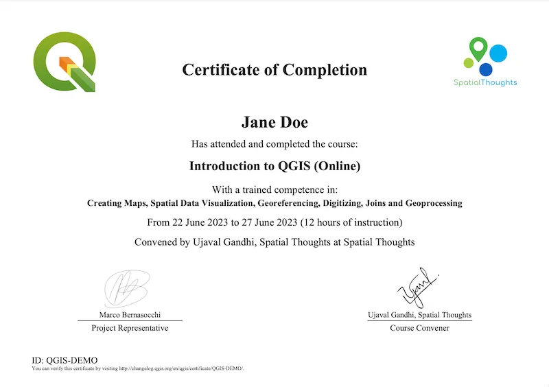
Certification
What participants say
What a great course. It’s comprehensive, well-paced, interactive, and Ujaval and Vigna are excellent at delivering its content. So many additional resources are provided as well that pique your curiosity and make you want to continue the QGIS learning journey. I’ve already signed up for another course!
Kayla HeltRisk Manager | Geologist | Leader | Problem Solver, AbitiRisque Inc.
GIS analysis is a powerful tool for urban planners. This class made the topic extremely accessible. Ujaval is so approachable as an instructor, and the suite of tutorials available via Spatial Thoughts is amazing.
Grace Hood
I have always wanted to start learning GIS and QGIS is an indeed a right place to begin. I would anyday vouch for the course conducted by Ujaval and very well supported by Vigna. The course is well structured, with adequate resources for professionals from different background, and quick response to queries. The course has made me to explore QGIS further. Looking forward for next course. Thank you.
Nikhil S BhatAGM - Project Monitoring and Controls, HCC
I joined the Introduction to QGIS course as a complete beginner, and it turned out to be an excellent starting point for my geospatial learning journey. The course was thoughtfully structured, progressing from the fundamentals of creating and visualizing maps to georeferencing, digitization, geoprocessing, and practical spatial analysis. The clear explanations, step-by-step demonstrations, well-prepared course materials, and real-world examples made QGIS much more approachable than I had initially expected.
Because of my work schedule and the time-zone difference, I was unable to attend the synchronous online sessions, so I particularly appreciated the flexibility of the course and the approachable and supportive communication from Ujaval, Vigna, and the Spatial Thoughts team. The learning materials allowed me to work through the course at my own pace without feeling left behind.
Most importantly, as someone entering GIS from a different research background, the course helped remove much of my initial hesitation about learning a new technical field. I finished the course not only with a stronger foundation in QGIS, but also with the confidence and curiosity to practise further, explore more advanced geospatial methods, and consider how these skills can become part of my research and future professional work.
I am very grateful to the Spatial Thoughts team for making the learning experience practical, accessible, flexible, and genuinely encouraging for beginners.
Aby Mullikkattu PhilipTeam Lead, FIO Automotive
I recently completed the Introduction to QGIS course by Spatial Thoughts and I was genuinely impressed by the quality of the course and the way it was taught.
What stood out to me most was how practical and easy to follow the lessons were. The instructors did an excellent job of breaking down GIS concepts and demonstrating them through hands-on exercises. I particularly enjoyed learning and working with map creation, spatial data visualization.
Even as someone still developing my GIS skills, I never felt lost or overwhelmed. The course was well structured, the explanations were clear and each exercise helped reinforce what had been taught.
A special thank you to Ujaval Gandhi and Vigna for the effort and thought that went into teaching the course. Your ability to make GIS concepts approachable while still providing practical, real-world skills made the learning experience genuinely enjoyable.
Geologist
I really enjoyed the “Introduction to QGIS” course from Spatial Thoughts. The course was clear, practical, and easy to follow, and it helped me strengthen my skills in mapping, digitizing, georeferencing, spatial data visualization, and geoprocessing. Thanks to Ujaval Gandhi and Vigna Purohit for providing such a valuable learning experience.
Sudipta BandyopadhyayGIS Learner