Table of Contents
Geo for Good is Google’s annual summit that brings together users of Google mapping tools. It’s usually a large conference hosted at Google HQ in Mountain View, California. This year however, they decided to split the conference into 2 mini summits - one in São Paulo, Brazil and another in Dublin, Ireland. I have been going to Geo for Good for many years and was glad to take part in the Geo for Good 2024 Mini Summit at Dublin. The summit was a 4-day long event that took place from Sept 23-26, 2024 at the Google Dublin office.
The Conference
Geo for Good started as way for the geospatial community to come together and celebrate social and environmental impact using Google’s mapping tools. The conference has now evolved into an Earth Engine focused event for both the Earth Engine community (research, education, non-profit) and Commercial users (Google Cloud customers).
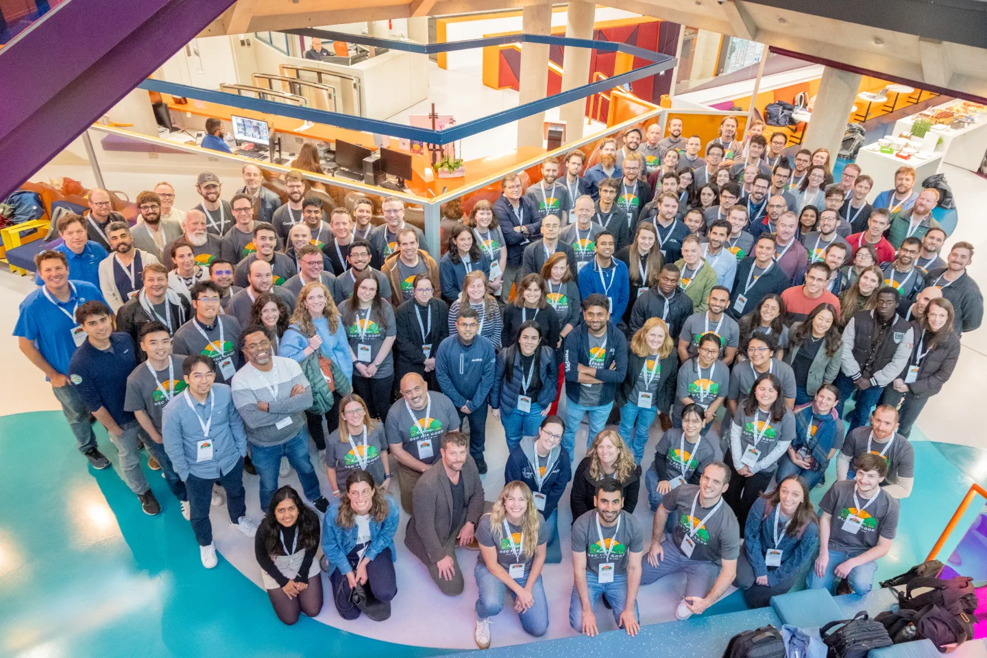
Geo for Good Dublin Summit Participants (Photo by Alan Rowlette for Google)
I saw the following main themes in this year’s conference:
- Theme 1: EUDR and Sustainable Sourcing of Commodities
- Theme 2: Earth Engine as a Google Cloud Service
- Theme 3: Machine Learning and AI
Theme 1: EUDR and Sustainable Sourcing of Commodities
The primary driver for the commercial adoption of GEE is the EU Deforestation Regulation (EUDR) - which states that starting in Dec 2024, companies that sell goods into the European Union are required to prove that these goods were not grown on land deforested after 31 Dec 2020. This is also driving a lot of research and investment into creating baseline datasets that can be used by companies. Several new datasets were launched recently and are now available for mapping and monitoring crops, such as:
- EC JRC global map of forest cover 2020
- SBTN Natural Lands Map v1
- Oil Palm Plantation Probability v20240312
It was also announced that other commodity crop maps (coffee, soybean etc.) are in the works and will be released soon. The majority of the plenary sessions were focused on topics around EUDR and sustainable sourcing.
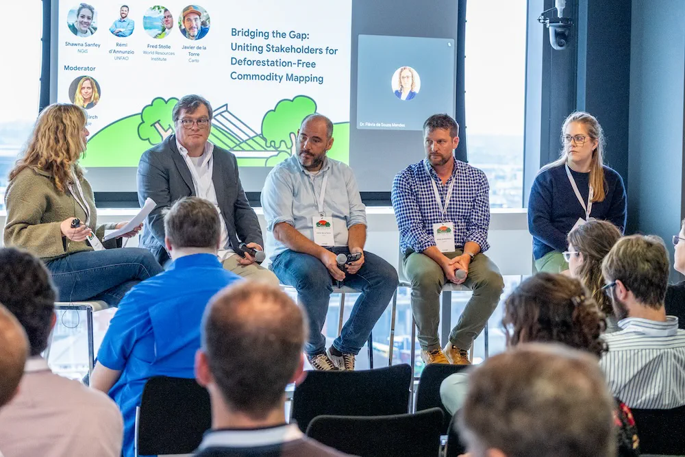
Panel Discussion on EUDR (Photo by Alan Rowlette for Google)
Theme 2: Earth Engine as a Google Cloud Service
Earth Engine launched their commercial offering in 2022 and started pushing the integration with Google Cloud last year. You could see the shift in focus in this year’s summit.
Sessions focused on use of Earth Engine with the Google Cloud ecosystem (BigQuery, Vertex AI, Cloud Storage, Cloud Functions etc.). My favorite session was Automating Earth Engine Workflows where Michael DeWitt shared how one can leverage Cloud Functions and Cloud Scheduler to automatically launch Earth Engine jobs and exports. Both of these are quite inexpensive services that can help many users. Look for some new tutorials from me exploring these in the near future.
Theme 3: Machine Learning and AI
The biggest announcement at the conference was the announcement of Embedding Fields Model (EFM) - an Earth Foundation Model built by Google in collaboration with DeepMind. This is an emerging area of research that has shown a lot of promise. Several other open-source earth foundation models are already available - such as Clay and NASA’s Prithvi. EFM is Google’s foray into this field of using Embeddings to capture the meaning of a ‘pixel’ by combining observations from multiple sensors (Sentinel-2, Sentinel-1, Landsat 8/9) of a location across multiple time-steps (i.e. 1 year) into a representative ’embedding’ - a series of 64 numbers - that uniquely represent that location. This embedding can then be used to find similar locations (i.e. find me all pixels with solar panels), used to generate landcover maps (classify the pixel using just a few labels), detect changes (compare embeddings of different years) etc.
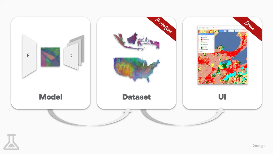 Overview of the Embedding Fields Approach Image © Google
While this was announced at the conference - it is not yet available to the public. The model is NOT likely to be open-sourced. The resulting embedding fields dataset will eventually be available in the Earth Engine Data Catalog for GEE users. At the conference, the participants were given access to an app called Landscape Classifier that one can use to create a landcover classification using this dataset. It’s a great demo (and AI-powered products make great demos) but will hold the judgement on the usefulness of this dataset till we have full access to it and can try it on real-world problems.
Apart from this, there were numerous sessions on Deep Learning (using Vertex AI) and Machine Learning (using Earth Engine API).
Dynamic World workshop
I hosted a hands-on workshop Monitoring Land Use & Land Cover Changes with Dynamic World along with Elise Mazur from WRI and Tanya Birth from Google. I have collaborated closely with Google and World Resources Institute (WRI) over the past 2 years on the Dynamic World dataset. This dataset is powered by a Deep Learning model that generates landcover probabilities for 9 landcover classes from the Sentinel-2 dataset. After hosting multiple workshops and applying this dataset on real-world problems - we now have a good understanding of the strengths and weaknesses of this dataset.
The workshop focused on helping participants understand how to use this dataset for landcover monitoring applications with several new examples and scripts.
The presentation covered the following applications of Dynamic World and Google Earth Engine:
- Monitoring Surface Water
- Monitoring Urban Growth
- Monitoring Deforestation
- Monitoring Restoration Trends
All the code examples along with many more are now available on our OpenCourseWare page.
Hackathon
The last day of the summit was a hackathon where groups work together to build a prototype of an idea. During the summit, participants submitted their ideas and gave a short pitch to recruit team members to work on the idea during the hackathon.
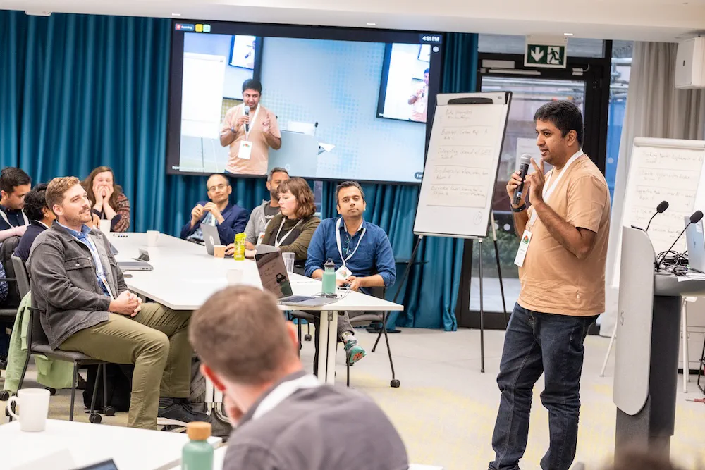
Pitching my hackathon idea at the summit (Photo by Alan Rowlette for Google)
For a while now, I had an idea to implement a Earth Engine workflow for crop classification using unsupervised methods that can be done without need for field-level labels. One can use aggregate crop statistics to assign crop types based on phenology. I took this opportunity to collaborate with other experts to build a prototype of this idea and proposed a hackathon project Crop Type Mapping without Field Data. Our group consisted of Filippo Bocchino, Phuong Luong, Sara Pruckner, Michael Toomey, Kishore Kowtham, Elise Mazur and Akira Kozuka. It was quite an exciting day to work on this project and we were able to demonstrate a working proof-on-concept for 2 different regions.
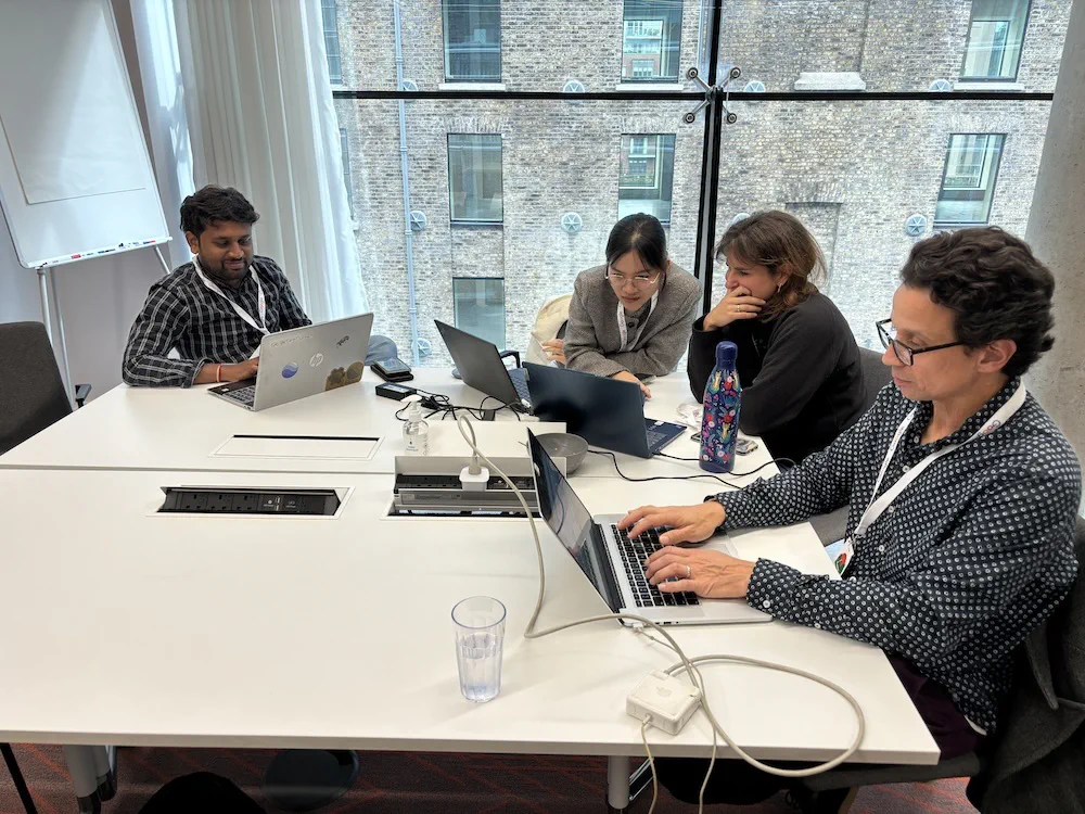
Our hackathon group
Networking
The main value of going to in-person conferences is the chance to build new relationships and brainstorm ideas with other like-minded people. The summit provided many networking opportunities (along with generous amounts of food). The discussions continued through evenings at local pubs and restaurants.
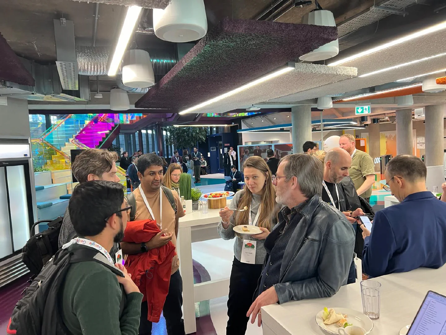
Networking with Participants along with Noel Gorelick from Google. (Photo by Jeff Cardille)
Exploring Dublin
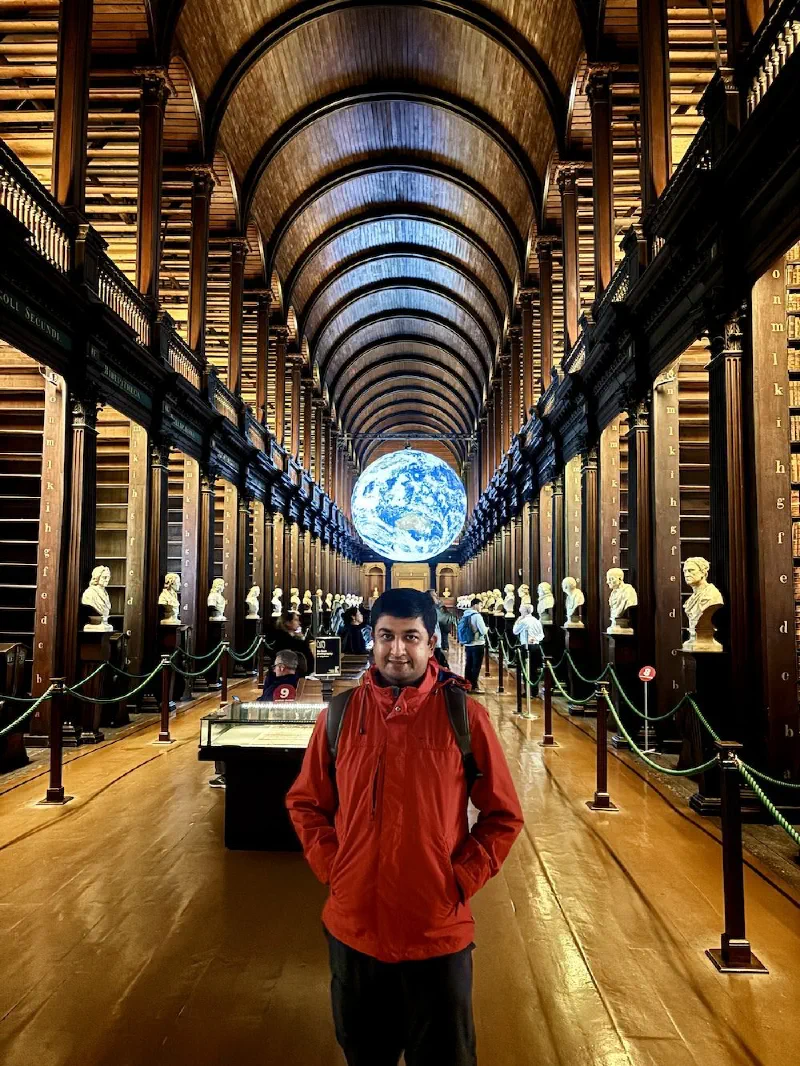
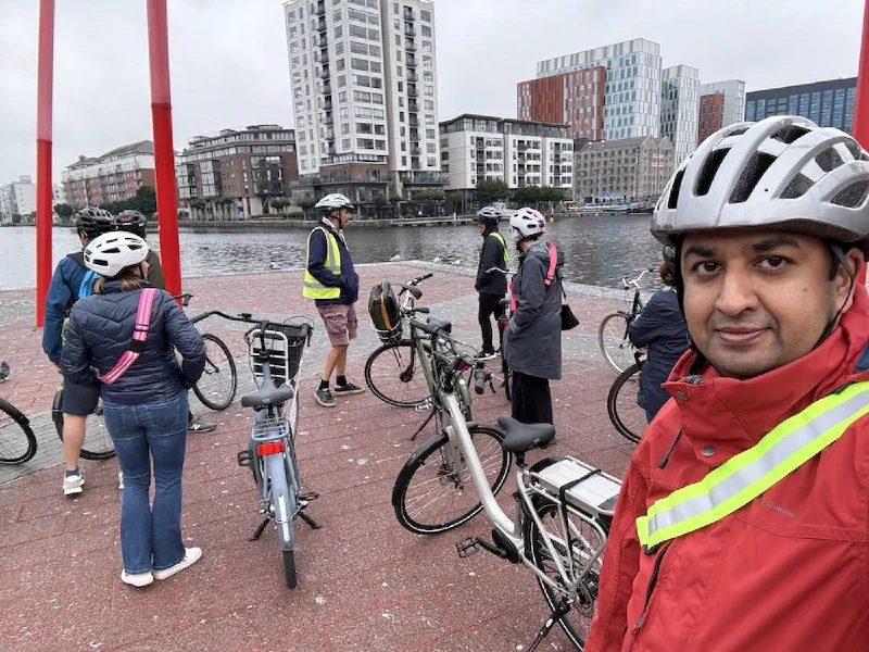
An added perk of in-person conferences is being able to visit new places and explore local culture. It was my first time in Dublin and spent the weekend and evenings exploring the city with friends and colleagues from the conference. The weather wasn’t ideal but I enjoyed the 2.5 hour bike tour of Dublin by CDBT that covered most of the tourist spots and gave a good sense of the history of the city. I loved the Book of Kells Experience tour at Trinity college Library where Samapriya Roy and I saw the exhibit. Another fun activity was the South Wall Walk with beautiful views of the coastline.


The Takeaway
I thoroughly enjoyed meeting friends and collaborators at the summit. The discussions sparked many new ideas to pursue over the next year. The hackathon was a rewarding experience as I could finally make a breakthrough on a tough problem. A big thanks to Devaja Shah and all the Googlers who worked tirelessly to make this event happen.
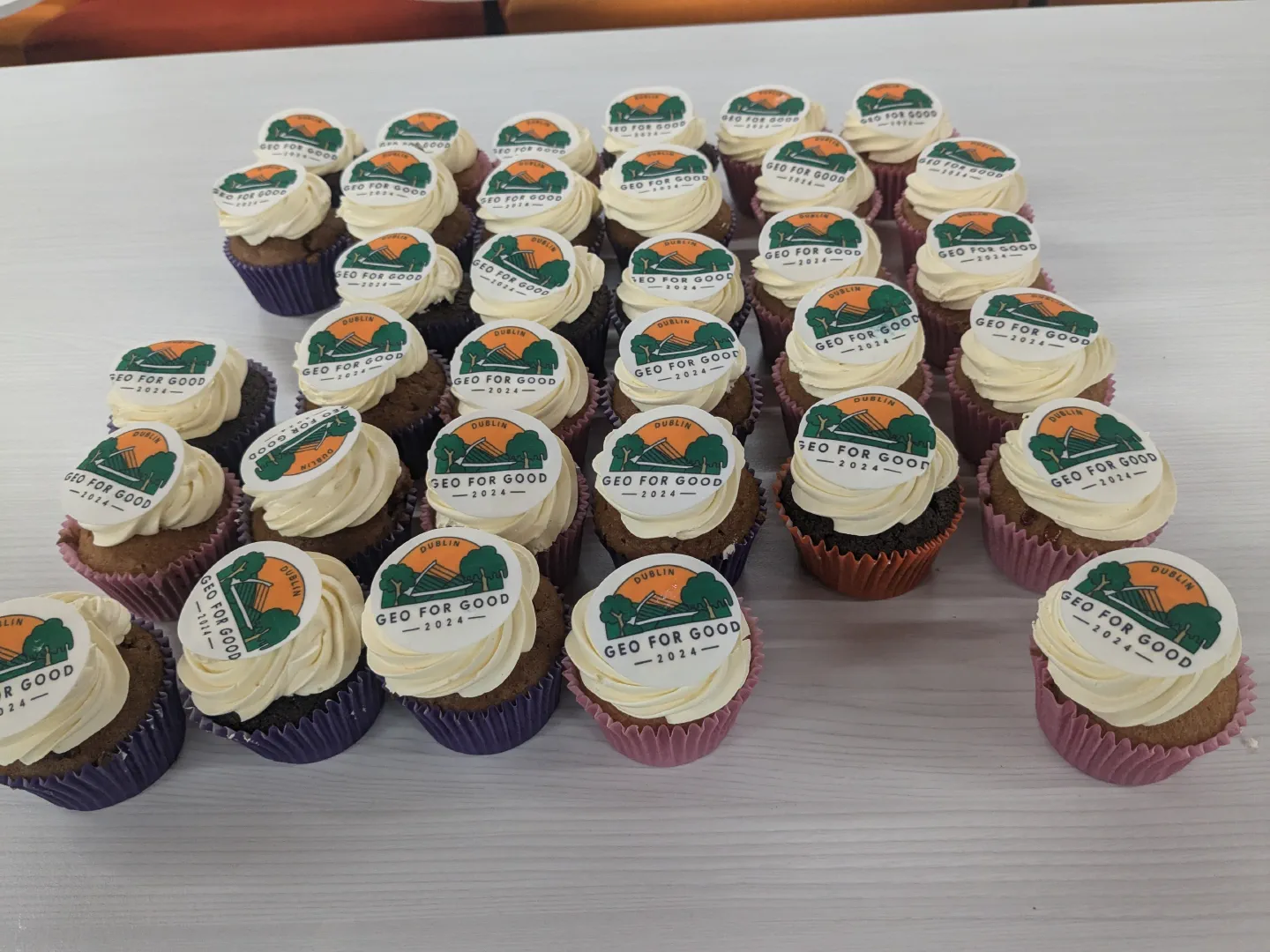
Geo for Good Cupcakes (Photo by: Robert Pazur)
It is clear that Earth Engine is a now mature cloud product and is being used by commercial users. This is good news - even for the free users - as it ensures the platform that we all rely on and use everyday - can become sustainable and financially viable in the long term.
The product focus has clearly shifted towards integration with Google Cloud and offering datasets and features that drive commercial revenue. The biggest challenge going forward will be for Google to balance the needs of two very different user communities and keeping the focus on Earth Engine’s goal of social and environmental impact while achieving commercial success.
Comments