

The FOSS4G Asia 2026 conference was hosted at Nashik, India from 21-25 January 2026. This was a special event for me because I was part of the local organizing committee and worked alongside a passionate group of people to bring the open-source geospatial community together in India. The conference also co-hosted the State of the Map (SOTM) India 2026 gathering for the OpenStreetMap India community. In total, the event brought together 160+ attendees from India, Japan, Germany, Thailand, UK, UAE, Nepal, and Korea.


Workshops
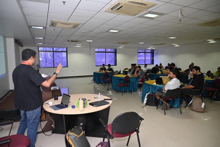
The first 2 days of the conference were dedicated to workshops. There were a total of 18 workshops spread over the 2 days on a range of topics. There were workshops on DuckDB, GeoPython, Maplibre, GeoAI, QGIS, and more.


I hosted 2 workshops. The first one was Working with Earth Engine Data in QGIS, which was targeted at QGIS users and showed how to use the new GEE Plugin in QGIS to get data from Earth Engine data catalogs. Another one was QGIS Automation using Actions, which explored how to set up small automations and workflow improvements using Python. Both workshops are open-access, and you can follow them on our OpenCourseWare website.


The Conference
The main conference had 120+ attendees with 40+ participants who also attended the SOTM India event. The conference was a mix of keynote talks, panel discussions and talks.
Video recordings of all keynotes and talks are now available on the GeoBharat YouTube channel.
Keynotes
I was particularly happy about the mix of keynote speakers that covered diverse topics – technical advances, community building and the role of open-source software.
- Dr. Qiusheng Wu gave a talk on Democratizing GeoAI: Open-Source Tools for AI-Powered Geospatial Analysis and Visualization covereding the GeoAI Python package and the newly launched GeoAI QGIS Plugin – both incredible open-source tools that are making it possible for everyone to leverage advances in AI in their work.
- Arisa Mikumo talked about her work at Re:Earth and Bridging Open Geospatial Technology and Real-World Practice.
- Sumit Khinvasara gave an inspiring talk on Open Source as the Launchpad for Young Entrepreneurs.
- Anita Graser walked us Behind the Scenes of QGIS.org giving a whirlwind tour of the history and growth of the QGIS project and what it takes to create the world’s most popular open-source GIS.
- Peter Lowe reflected on data commons and digital repositories for preserving scientific data in his talk Recipes for a Small Planet.
Panel Discussions
The conference has a couple of panels with invited speakers to discuss a locally relevant topic on the Role of Open-Source Software in Government. This was a panel discussion with Dr. Vivek Saxena (Scientist F, DGRE, DRDO), Dr. Praveen Gedam (IAS, Divisional Commissioner, Nashik), and Er. Manish Mahendra Kothari (FIE, Chartered Engineer, President, The Institution of Engineers).
I participated in a panel Unlocking Geospatial Potential Through Regional Synergies alongside Nobusuke Iwasaki, Devdatta Tengshe and Sanghee Shin. I highlighted the role of certification and encouraged more educators from Asia take up QGIS Certification to fill the large market gap.


Technical Talks
There were 60+ talks in 3 parallel tracks. The schedule was organized in Academic and General tracks with similar talks grouped in a single session.
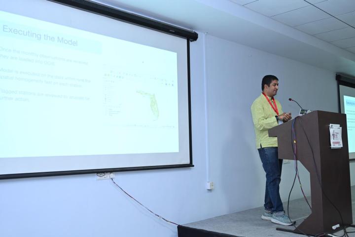
Being one of the organizers, I did not get to attend many talks, and I am looking forward to catching up on them on video. I gave a talk on Workflow Automation with QGIS: Tips and Tricks with case studies on how the QGIS model designer can help automate complex tasks without any coding.
Networking
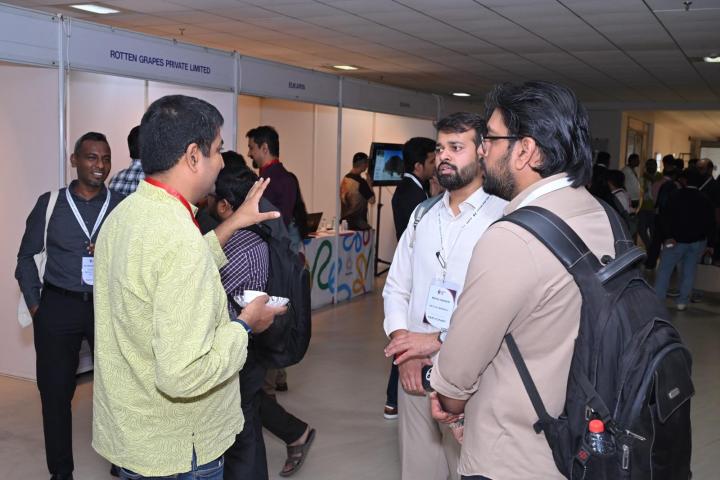
The main reason to attend events like these is to network and build personal connections. The conference provided plenty of networking opportunities – both formal and informal. I had many meaningful discussions at the conference and expanded my professional network with new connections.
The Gala Dinner is the flagship social event of FOSS4G conferences, so a lot of effort went in to make this a memorable event. The gala dinner featured karaoke, dance, and a fine selection of local food. Our team members Sucheta Ukidve and Json Singh were were amazing hosts who kept everyone entertained with their energy, humor, and talent.


State of the Map (SOTM) in India
The conference co-hosted the first-ever State of the Map India 2026 event bringing together contributors from the OpenStreetMap (OSM) community. Our team member Devdatta Tengshe worked tirelessly to put this event together. The response from the community was incredible, with 50+ participants joining the event.

The event featured several talks by community members, along with a workshop on Cartography with QGIS and OpenStreetMap by Arun Ganesh.
QGIS India User Group
The biggest highlight of this conference for me was the coming together of the QGIS India community. India – despite being one of the largest userbases in the world – had no organized user group. This was the first event that brought together many QGIS users and contributors from India. There was a strong interest in establishing a user group.
At the end of the conferece, we hosted a Birds-of-a-Feather session to discuss this. The session was attended by a large number of participants, and we were able to reach a consensus to form the QGIS India User Group, adhering to the guidelines set by QGIS.org.


It is still early days for the user group, but there is a lot of interest and enthusiasm to establish a thriving community. If you are a QGIS user, please do join the QGIS India User Group on Telegram and spread the word among other users. If you are interested in volunteering with the group, please fill out the Interest Form, and we’ll reach out to you.
In Conclusion
Organizing an event of this scale is not possible without the support of a dedicated team. I was lucky to have played a small part in the local organizing committee. Most of the heavy-lifting for the event was done by Krishna Lodha and Siddhi Bora, who worked tirelessly for months. Devdatta Tengshe, Sucheta Ukidve and Json Singh were the key pillars of the team and were supported by the amazing volunteers Ellen Brock, Vigna Purohit and Pavan Chhajed. The academic track was spearheaded by the conference chair Dr. Venkatesh Raghavan and supported by Dr. Natraj Vaddadi, and Dr. Kuldeep Kurte.
What next?
The response to this conference was beyond our expectations. We hope to build on this conference to bring more such events to India and are looking for partners and volunteers who can help bring this to reality. Do join us!

